Field and pylons on Horner Hill
Introduction
The photograph on this page of Field and pylons on Horner Hill by Derek Harper as part of the Geograph project.
The Geograph project started in 2005 with the aim of publishing, organising and preserving representative images for every square kilometre of Great Britain, Ireland and the Isle of Man.

There are currently over 7.5m images from over 14,400 individuals and you can help contribute to the project by visiting https://www.geograph.org.uk
Field and pylons on Horner Hill
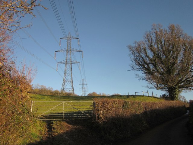
Image: © Derek Harper Taken: 5 Dec 2012
From the lane between Lower Corry and Dalwood. This is the pylon line seen in Image
Images are licensed for reuse under creativecommons.org/licenses/by-sa/2.0
Image Location
Latitude
50.804754
Longitude
-3.066578