South of Swing Bridge At Preston Docks
Introduction
The photograph on this page of South of Swing Bridge At Preston Docks by Rude Health as part of the Geograph project.
The Geograph project started in 2005 with the aim of publishing, organising and preserving representative images for every square kilometre of Great Britain, Ireland and the Isle of Man.

There are currently over 7.5m images from over 14,400 individuals and you can help contribute to the project by visiting https://www.geograph.org.uk
South of Swing Bridge At Preston Docks
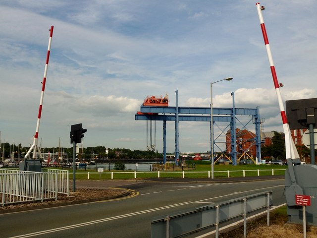
Image: © Rude Health Taken: 12 Jul 2012
I cycled the guild wheel tonight plus the Grimsargh link in under two hours. A lovely evening for a change.
Images are licensed for reuse under creativecommons.org/licenses/by-sa/2.0
Image Location
Latitude
53.759454
Longitude
-2.743953