The Lilypad Boardwalk
Introduction
The photograph on this page of The Lilypad Boardwalk by Alan Murray-Rust as part of the Geograph project.
The Geograph project started in 2005 with the aim of publishing, organising and preserving representative images for every square kilometre of Great Britain, Ireland and the Isle of Man.

There are currently over 7.5m images from over 14,400 individuals and you can help contribute to the project by visiting https://www.geograph.org.uk
The Lilypad Boardwalk
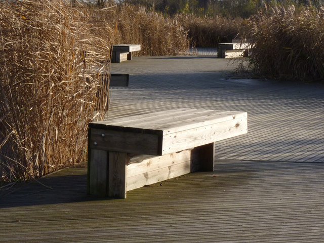
Image: © Alan Murray-Rust Taken: 23 Nov 2012
The boardwalk has been created over an area for the collection of rainwater from the adjacent science park, to create a wetland habitat. Despite the time of year, and recent heavy rainfall, there was no water visible under the boardwalk.
Images are licensed for reuse under creativecommons.org/licenses/by-sa/2.0
Image Location
Latitude
52.936258
Longitude
-1.187437