Downland, near to Bere Down Farm, Dorset
Introduction
The photograph on this page of Downland, near to Bere Down Farm, Dorset by Caroline Tandy as part of the Geograph project.
The Geograph project started in 2005 with the aim of publishing, organising and preserving representative images for every square kilometre of Great Britain, Ireland and the Isle of Man.

There are currently over 7.5m images from over 14,400 individuals and you can help contribute to the project by visiting https://www.geograph.org.uk
Downland, near to Bere Down Farm, Dorset
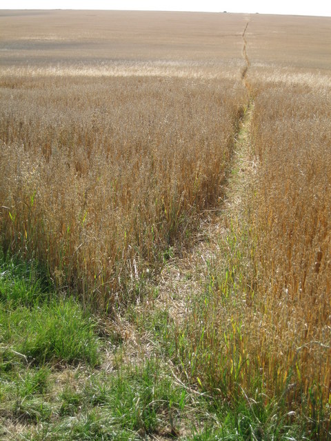
Image: © Caroline Tandy Taken: 30 Jul 2006
The Dorset Jubilee Trail stretches away across the downland and into the distance
Images are licensed for reuse under creativecommons.org/licenses/by-sa/2.0
Image Location


Leaflet Map data © OpenStreetMap
Latitude
50.770546
Longitude
-2.235352