Former railway bridge over the Cadoxton River near Barry
Introduction
The photograph on this page of Former railway bridge over the Cadoxton River near Barry by Jaggery as part of the Geograph project.
The Geograph project started in 2005 with the aim of publishing, organising and preserving representative images for every square kilometre of Great Britain, Ireland and the Isle of Man.

There are currently over 7.5m images from over 14,400 individuals and you can help contribute to the project by visiting https://www.geograph.org.uk
Former railway bridge over the Cadoxton River near Barry
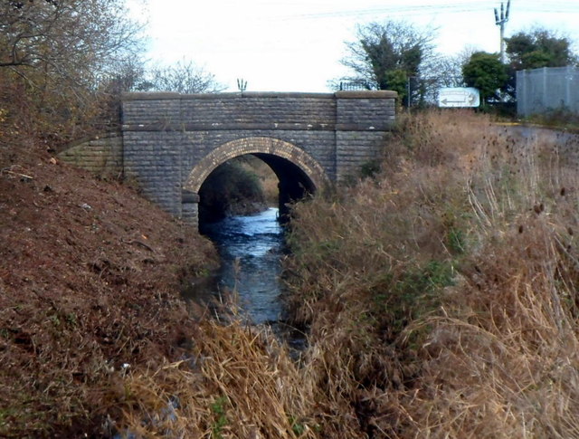
Image: © Jaggery Taken: 2 Dec 2012
The Cadoxton River flows under the bridge which formerly carried a railway line on the NW side of Sully railway station. Passenger services at the station ended in 1968. The bridge now carries the road connecting Coconuts Play Centre http://www.geograph.org.uk/photo/3255431 and Daisy Day Nursery http://www.geograph.org.uk/photo/3255434 with Sully Moors Road.
Images are licensed for reuse under creativecommons.org/licenses/by-sa/2.0
Image Location
Latitude
51.414014
Longitude
-3.229242