Boundary Stone between Walton and Bickerton
Introduction
The photograph on this page of Boundary Stone between Walton and Bickerton by David Rogers as part of the Geograph project.
The Geograph project started in 2005 with the aim of publishing, organising and preserving representative images for every square kilometre of Great Britain, Ireland and the Isle of Man.

There are currently over 7.5m images from over 14,400 individuals and you can help contribute to the project by visiting https://www.geograph.org.uk
Boundary Stone between Walton and Bickerton
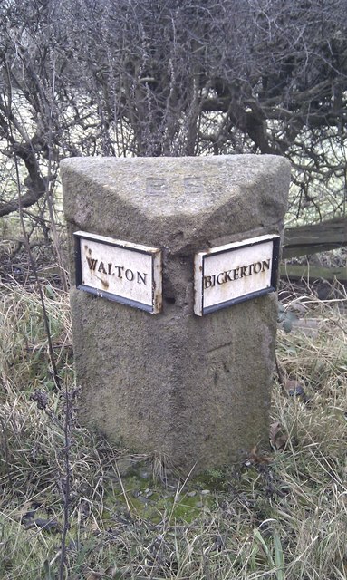
Image: © David Rogers Taken: 6 Dec 2012
Beside the B1224 York Road. The included Benchmark was last verified at 27.1m in 1966.
Images are licensed for reuse under creativecommons.org/licenses/by-sa/2.0
Image Location
Latitude
53.940449
Longitude
-1.343702