Rebels Lane
Introduction
The photograph on this page of Rebels Lane by terry joyce as part of the Geograph project.
The Geograph project started in 2005 with the aim of publishing, organising and preserving representative images for every square kilometre of Great Britain, Ireland and the Isle of Man.

There are currently over 7.5m images from over 14,400 individuals and you can help contribute to the project by visiting https://www.geograph.org.uk
Rebels Lane
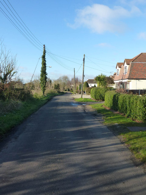
Image: © terry joyce Taken: 10 Dec 2012
This is Rebels Lane looking towards away from the Barling Road. The lane is a no through road, although there is a byway at the end of it which leads through to a tunnel under Royal Artillery Way and Archer Close.
Images are licensed for reuse under creativecommons.org/licenses/by-sa/2.0
Image Location
Latitude
51.555303
Longitude
0.753757