View to Kemeys Commander
Introduction
The photograph on this page of View to Kemeys Commander by Jeremy Bolwell as part of the Geograph project.
The Geograph project started in 2005 with the aim of publishing, organising and preserving representative images for every square kilometre of Great Britain, Ireland and the Isle of Man.

There are currently over 7.5m images from over 14,400 individuals and you can help contribute to the project by visiting https://www.geograph.org.uk
View to Kemeys Commander
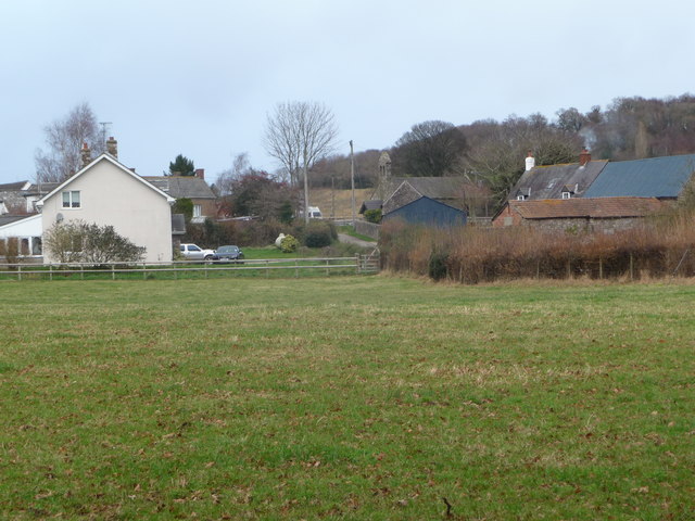
Image: © Jeremy Bolwell Taken: 9 Dec 2012
The settlement is on higher ground with the old church at its centre.
Images are licensed for reuse under creativecommons.org/licenses/by-sa/2.0
Image Location
Latitude
51.737834
Longitude
-2.944746