Pisgah Street bungalows, Kenfig Hill
Introduction
The photograph on this page of Pisgah Street bungalows, Kenfig Hill by Jaggery as part of the Geograph project.
The Geograph project started in 2005 with the aim of publishing, organising and preserving representative images for every square kilometre of Great Britain, Ireland and the Isle of Man.

There are currently over 7.5m images from over 14,400 individuals and you can help contribute to the project by visiting https://www.geograph.org.uk
Pisgah Street bungalows, Kenfig Hill
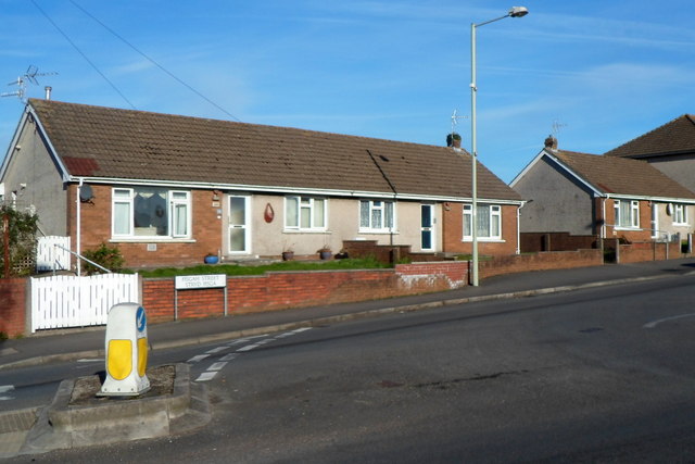
Image: © Jaggery Taken: 29 Nov 2012
There were no boundary signs here, but as far as I can tell these bungalows on the north side of the B4281 Pisgah Street are at the western edge of the village of Kenfig Hill, adjacent to the eastern edge of the village of Pyle.
Images are licensed for reuse under creativecommons.org/licenses/by-sa/2.0
Image Location
Latitude
51.529591
Longitude
-3.689358