B6296 entering Hollinside from south-west
Introduction
The photograph on this page of B6296 entering Hollinside from south-west by Trevor Littlewood as part of the Geograph project.
The Geograph project started in 2005 with the aim of publishing, organising and preserving representative images for every square kilometre of Great Britain, Ireland and the Isle of Man.

There are currently over 7.5m images from over 14,400 individuals and you can help contribute to the project by visiting https://www.geograph.org.uk
B6296 entering Hollinside from south-west
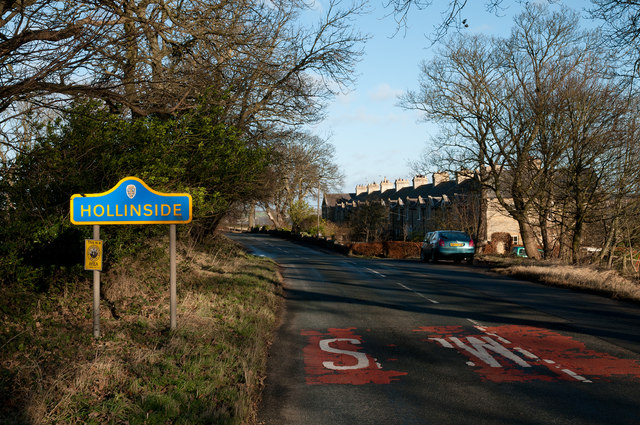
Image: © Trevor Littlewood Taken: 9 Dec 2012
Hollinside is a small County Durham settlement close to Lanchester comprising little more than the terrace of houses seen in the image and a 'hall', above, on the other side of the road. The blue and yellow road sign is characteristic of a style of signage introduced by County Durham some years ago.
Images are licensed for reuse under creativecommons.org/licenses/by-sa/2.0
Image Location
Latitude
54.811162
Longitude
-1.768603