Coed y Gaer
Introduction
The photograph on this page of Coed y Gaer by Rude Health as part of the Geograph project.
The Geograph project started in 2005 with the aim of publishing, organising and preserving representative images for every square kilometre of Great Britain, Ireland and the Isle of Man.

There are currently over 7.5m images from over 14,400 individuals and you can help contribute to the project by visiting https://www.geograph.org.uk
Coed y Gaer
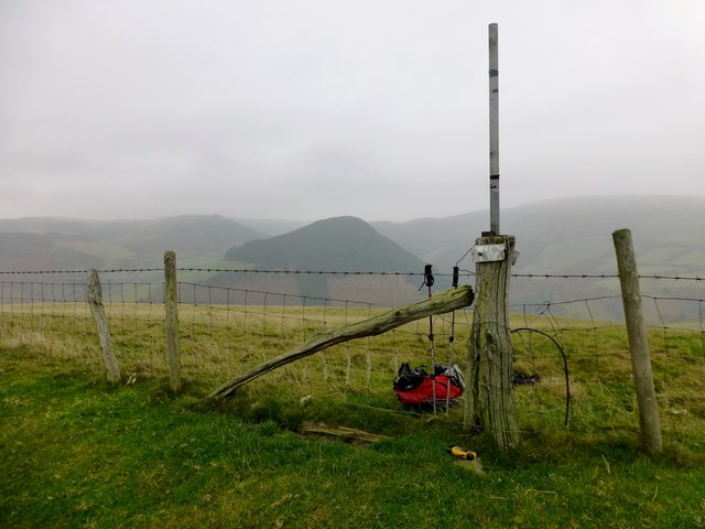
Image: © Rude Health Taken: 16 Nov 2012
Coed y Gaer looking across to wooded summit of Y Foel. Name: Coed y Gaer Hill number: 5223 Height: 362m / 1188ft Area: 31B: Welshpool to Hay-on-Wye Class: Hu Grid ref: SO 00498 84396 Summit feature: ground beside fence Drop: 120m Col: 242m SO005839
Images are licensed for reuse under creativecommons.org/licenses/by-sa/2.0
Image Location
Latitude
52.44838
Longitude
-3.46532