Cribbwr Square, Kenfig Hill
Introduction
The photograph on this page of Cribbwr Square, Kenfig Hill by Jaggery as part of the Geograph project.
The Geograph project started in 2005 with the aim of publishing, organising and preserving representative images for every square kilometre of Great Britain, Ireland and the Isle of Man.

There are currently over 7.5m images from over 14,400 individuals and you can help contribute to the project by visiting https://www.geograph.org.uk
Cribbwr Square, Kenfig Hill
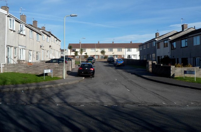
Image: © Jaggery Taken: 29 Nov 2012
Viewed from Marshfield Avenue. The boundary between Pyle and Kenfig Hill is unclear to me in this area. I've used Kenfig Hill because that's what most on-line references use for Cribbwr Square.
Images are licensed for reuse under creativecommons.org/licenses/by-sa/2.0
Image Location
Latitude
51.528086
Longitude
-3.687717