Buckfast Way turning circle, Abbey Park
Introduction
The photograph on this page of Buckfast Way turning circle, Abbey Park by Richard Vince as part of the Geograph project.
The Geograph project started in 2005 with the aim of publishing, organising and preserving representative images for every square kilometre of Great Britain, Ireland and the Isle of Man.

There are currently over 7.5m images from over 14,400 individuals and you can help contribute to the project by visiting https://www.geograph.org.uk
Buckfast Way turning circle, Abbey Park
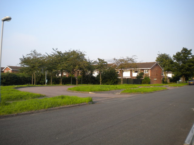
Image: © Richard Vince Taken: 26 Jul 2012
This turning circle was constructed for the buses serving the Abbey Park housing development in West Bridgford. It has been largely unused since the route serving this area was extended south towards Edwalton, turning off Buckfast Way just before reaching the turning circle.
Images are licensed for reuse under creativecommons.org/licenses/by-sa/2.0
Image Location
Latitude
52.927648
Longitude
-1.114706