Slipshoe Street
Introduction
The photograph on this page of Slipshoe Street by Ian Capper as part of the Geograph project.
The Geograph project started in 2005 with the aim of publishing, organising and preserving representative images for every square kilometre of Great Britain, Ireland and the Isle of Man.

There are currently over 7.5m images from over 14,400 individuals and you can help contribute to the project by visiting https://www.geograph.org.uk
Slipshoe Street
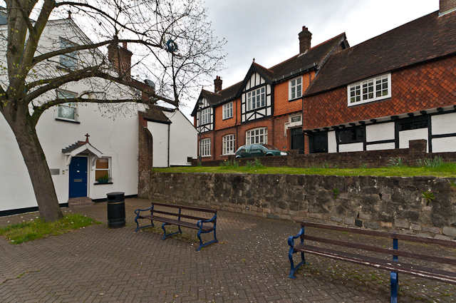
Image: © Ian Capper Taken: 8 Apr 2012
Supposedly so called because it was where pilgrims following the Pilgrims Way along the base of the North Downs would remove their shoes when visiting the Chapel of the Holy Cross situated near the current Red Cross Inn. The building on the right is late 16th Century and now houses a dental practice; the building next to it dates from 1885 and houses the Reigate 30th Scout Troup.
Images are licensed for reuse under creativecommons.org/licenses/by-sa/2.0
Image Location
Latitude
51.238451
Longitude
-0.210351