St John's Church, Burnhope
Introduction
The photograph on this page of St John's Church, Burnhope by Robert Graham as part of the Geograph project.
The Geograph project started in 2005 with the aim of publishing, organising and preserving representative images for every square kilometre of Great Britain, Ireland and the Isle of Man.

There are currently over 7.5m images from over 14,400 individuals and you can help contribute to the project by visiting https://www.geograph.org.uk
St John's Church, Burnhope
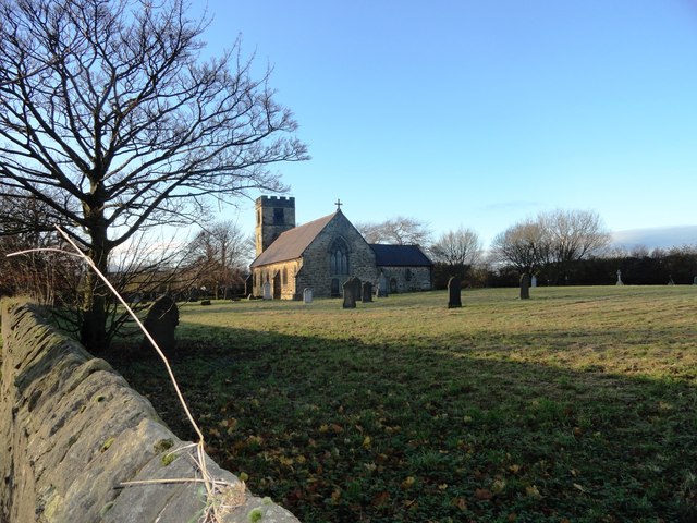
Image: © Robert Graham Taken: 28 Nov 2012
The village church dates from 1865, when the village was greatly expanded due to coal mining. The tower was added in 1923.
Images are licensed for reuse under creativecommons.org/licenses/by-sa/2.0
Image Location
Latitude
54.832578
Longitude
-1.699672