The churchyard, Mitcham parish church
Introduction
The photograph on this page of The churchyard, Mitcham parish church by Stefan Czapski as part of the Geograph project.
The Geograph project started in 2005 with the aim of publishing, organising and preserving representative images for every square kilometre of Great Britain, Ireland and the Isle of Man.

There are currently over 7.5m images from over 14,400 individuals and you can help contribute to the project by visiting https://www.geograph.org.uk
The churchyard, Mitcham parish church
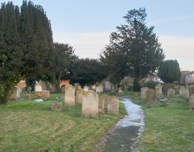
Image: © Stefan Czapski Taken: 2 Dec 2012
The eastern end of the churchyard, looking towards Love Lane. The churchyard is vast, and its size must have to do with the fact that the Wandle valley was the site of much early industrialisation - with the old Surrey Iron railway passing nearby. Photo taken on the afternoon of a gloomy, chilly day in December - the frost on the path had persisted all day.
Images are licensed for reuse under creativecommons.org/licenses/by-sa/2.0
Image Location
Latitude
51.403542
Longitude
-0.173865