Western arm of Cadoc Crescent, Barry
Introduction
The photograph on this page of Western arm of Cadoc Crescent, Barry by Jaggery as part of the Geograph project.
The Geograph project started in 2005 with the aim of publishing, organising and preserving representative images for every square kilometre of Great Britain, Ireland and the Isle of Man.

There are currently over 7.5m images from over 14,400 individuals and you can help contribute to the project by visiting https://www.geograph.org.uk
Western arm of Cadoc Crescent, Barry
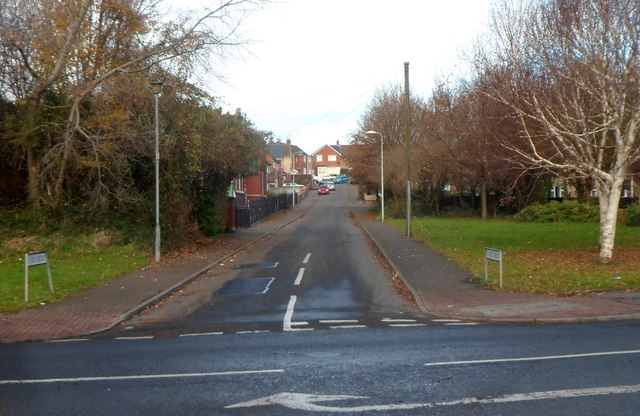
Image: © Jaggery Taken: 2 Dec 2012
A view north from Cardiff Road (the A4055). The first building on the left side of the road ahead is a former Victorian school, now Palmerston Community Learning Centre. http://www.geograph.org.uk/photo/3248480 The junction of the eastern arm of Cadoc Crescent and Cardiff Road is about 100 metres away. http://www.geograph.org.uk/photo/3248620
Images are licensed for reuse under creativecommons.org/licenses/by-sa/2.0
Image Location
Latitude
51.413262
Longitude
-3.24087