Pen-y-Bryn, Palmerston, Barry
Introduction
The photograph on this page of Pen-y-Bryn, Palmerston, Barry by Jaggery as part of the Geograph project.
The Geograph project started in 2005 with the aim of publishing, organising and preserving representative images for every square kilometre of Great Britain, Ireland and the Isle of Man.

There are currently over 7.5m images from over 14,400 individuals and you can help contribute to the project by visiting https://www.geograph.org.uk
Pen-y-Bryn, Palmerston, Barry
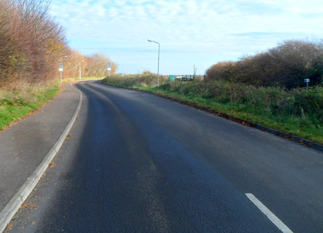
Image: © Jaggery Taken: 2 Dec 2012
Looking like a country road, Pen-y-Bryn connects Palmerston Primary School and the residential Greenacres http://www.geograph.org.uk/photo/3248162 ahead with Dobbins Road behind the camera.
Images are licensed for reuse under creativecommons.org/licenses/by-sa/2.0
Image Location
Latitude
51.416496
Longitude
-3.241245