Compass and information board
Introduction
The photograph on this page of Compass and information board by Graham Hogg as part of the Geograph project.
The Geograph project started in 2005 with the aim of publishing, organising and preserving representative images for every square kilometre of Great Britain, Ireland and the Isle of Man.

There are currently over 7.5m images from over 14,400 individuals and you can help contribute to the project by visiting https://www.geograph.org.uk
Compass and information board
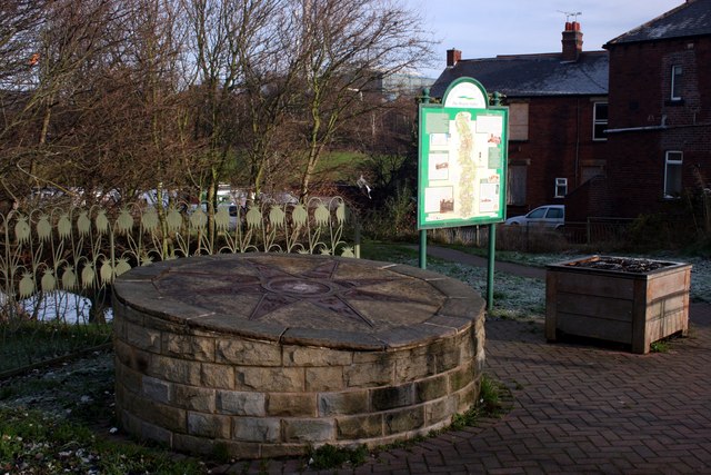
Image: © Graham Hogg Taken: 30 Nov 2012
The compass points to local features and places of interest. This is on the Trans Pennine Trail and also the Royston & Carlton boundary walk.
Images are licensed for reuse under creativecommons.org/licenses/by-sa/2.0
Image Location
Latitude
53.600642
Longitude
-1.439042