West Farm house from the bridleway above it
Introduction
The photograph on this page of West Farm house from the bridleway above it by Richard Law as part of the Geograph project.
The Geograph project started in 2005 with the aim of publishing, organising and preserving representative images for every square kilometre of Great Britain, Ireland and the Isle of Man.

There are currently over 7.5m images from over 14,400 individuals and you can help contribute to the project by visiting https://www.geograph.org.uk
West Farm house from the bridleway above it
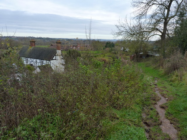
Image: © Richard Law Taken: 2 Dec 2012
The sign on the building actually calls itself Orchard House, but it appears to be the farmhouse belonging to the nearby West Farm. The bridleway currently has a drainage 'issue', resulting in very wet conditions underfoot.
Images are licensed for reuse under creativecommons.org/licenses/by-sa/2.0
Image Location
Latitude
52.524756
Longitude
-2.470871