Temporary road closure - floods
Introduction
The photograph on this page of Temporary road closure - floods by Pauline E as part of the Geograph project.
The Geograph project started in 2005 with the aim of publishing, organising and preserving representative images for every square kilometre of Great Britain, Ireland and the Isle of Man.

There are currently over 7.5m images from over 14,400 individuals and you can help contribute to the project by visiting https://www.geograph.org.uk
Temporary road closure - floods
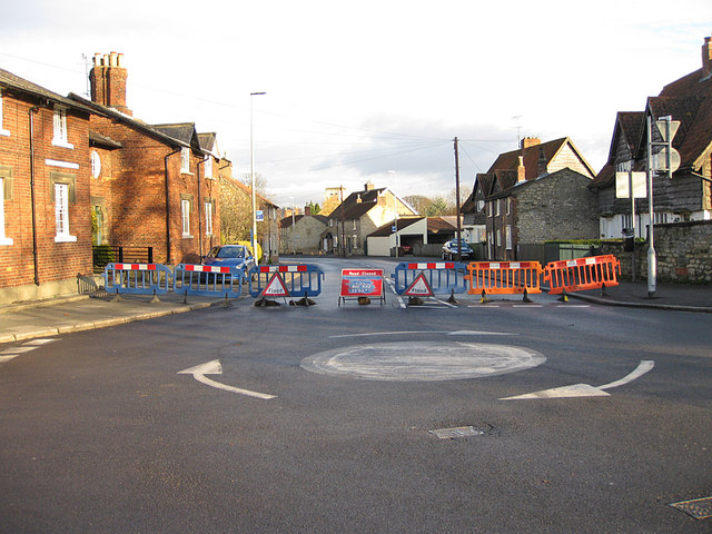
Image: © Pauline E Taken: 29 Nov 2012
Access to Pickering via the B1257 is denied until the floodwater has been pumped away.
Images are licensed for reuse under creativecommons.org/licenses/by-sa/2.0
Image Location
Latitude
54.14179
Longitude
-0.783745