Houses in Thornthwaite
Introduction
The photograph on this page of Houses in Thornthwaite by Trevor Littlewood as part of the Geograph project.
The Geograph project started in 2005 with the aim of publishing, organising and preserving representative images for every square kilometre of Great Britain, Ireland and the Isle of Man.

There are currently over 7.5m images from over 14,400 individuals and you can help contribute to the project by visiting https://www.geograph.org.uk
Houses in Thornthwaite
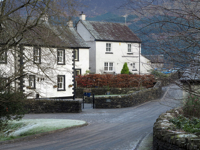
Image: © Trevor Littlewood Taken: 30 Nov 2012
The houses are on a side road, seemingly not named, east of the main one through the village. The wooded slopes of Dodd can be seen beyond.
Images are licensed for reuse under creativecommons.org/licenses/by-sa/2.0
Image Location
Latitude
54.620632
Longitude
-3.203758