The Brooks Bar road junction
Introduction
The photograph on this page of The Brooks Bar road junction by Bill Boaden as part of the Geograph project.
The Geograph project started in 2005 with the aim of publishing, organising and preserving representative images for every square kilometre of Great Britain, Ireland and the Isle of Man.

There are currently over 7.5m images from over 14,400 individuals and you can help contribute to the project by visiting https://www.geograph.org.uk
The Brooks Bar road junction
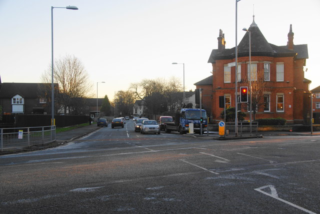
Image: © Bill Boaden Taken: 1 Dec 2012
Ahead is Withington Road which leads to Chorlton. At this point Old Trafford, Whalley Range, Hulme and Moss Side all merge into each other.
Images are licensed for reuse under creativecommons.org/licenses/by-sa/2.0
Image Location
Latitude
53.458491
Longitude
-2.258248