Restricted Byway to Erringham Farm near the A283
Introduction
The photograph on this page of Restricted Byway to Erringham Farm near the A283 by Dave Spicer as part of the Geograph project.
The Geograph project started in 2005 with the aim of publishing, organising and preserving representative images for every square kilometre of Great Britain, Ireland and the Isle of Man.

There are currently over 7.5m images from over 14,400 individuals and you can help contribute to the project by visiting https://www.geograph.org.uk
Restricted Byway to Erringham Farm near the A283
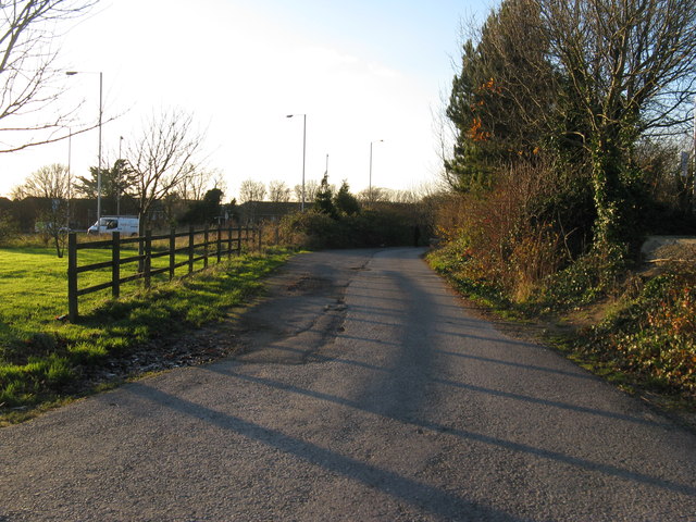
Image: © Dave Spicer Taken: 29 Nov 2012
This end is by the large roundabout at the entrance to Holmbush Retail Park.
Images are licensed for reuse under creativecommons.org/licenses/by-sa/2.0
Image Location
Latitude
50.842634
Longitude
-0.249259