Riverside path to Allhallows Marshes
Introduction
The photograph on this page of Riverside path to Allhallows Marshes by Marathon as part of the Geograph project.
The Geograph project started in 2005 with the aim of publishing, organising and preserving representative images for every square kilometre of Great Britain, Ireland and the Isle of Man.

There are currently over 7.5m images from over 14,400 individuals and you can help contribute to the project by visiting https://www.geograph.org.uk
Riverside path to Allhallows Marshes
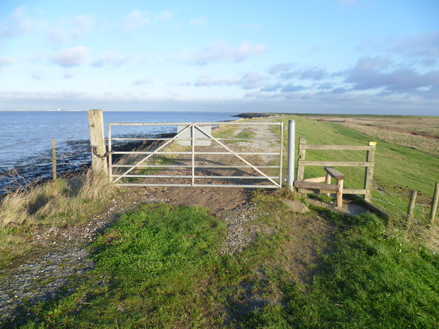
Image: © Marathon Taken: 29 Nov 2012
The path along the river wall here leads from Allhallows Leisure Park around the edge of Allhallows Marshes before turning away from the Thames along the side of Yantlet Creek. Shoeburyness can be seen across the river.
Images are licensed for reuse under creativecommons.org/licenses/by-sa/2.0
Image Location
Latitude
51.476928
Longitude
0.654119