Long Lane towards Little Thurrock
Introduction
The photograph on this page of Long Lane towards Little Thurrock by David Anstiss as part of the Geograph project.
The Geograph project started in 2005 with the aim of publishing, organising and preserving representative images for every square kilometre of Great Britain, Ireland and the Isle of Man.

There are currently over 7.5m images from over 14,400 individuals and you can help contribute to the project by visiting https://www.geograph.org.uk
Long Lane towards Little Thurrock
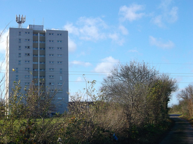
Image: © David Anstiss Taken: 25 Nov 2012
Leads from Gammon Field Caravan site/estate to the town. On the left is Keir Hardie House, block of flats.
Images are licensed for reuse under creativecommons.org/licenses/by-sa/2.0
Image Location
Latitude
51.497692
Longitude
0.34684