Haugh, Ballintaggart
Introduction
The photograph on this page of Haugh, Ballintaggart by Richard Webb as part of the Geograph project.
The Geograph project started in 2005 with the aim of publishing, organising and preserving representative images for every square kilometre of Great Britain, Ireland and the Isle of Man.

There are currently over 7.5m images from over 14,400 individuals and you can help contribute to the project by visiting https://www.geograph.org.uk
Haugh, Ballintaggart
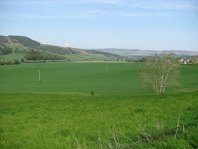
Image: © Richard Webb Taken: 23 May 2012
Arable land on the flood plain of the River Tay. The Aberfeldy Branch of the Highland Railway crossed the haugh here, but there is no trace left at this point.
Images are licensed for reuse under creativecommons.org/licenses/by-sa/2.0
Image Location
Latitude
56.648791
Longitude
-3.727393