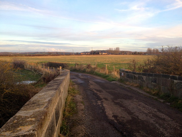
Railway bridge and lane at South Grange, Shincliffe
Introduction
The photograph on this page of Railway bridge and lane at South Grange, Shincliffe by Dean Molyneaux as part of the Geograph project.
The Geograph project started in 2005 with the aim of publishing, organising and preserving representative images for every square kilometre of Great Britain, Ireland and the Isle of Man.
There are currently over 7.5m images from over 14,400 individuals and you can help contribute to the project by visiting https://www.geograph.org.uk

Image: © Dean Molyneaux Taken: 29 Nov 2012
This poorly surfaced lane leads southwest from the A177 Durham/Shincliffe to Bowburn road to South Grange Farm (known in the 19th Century as Shincliffe Moor House). It is now marked as a public footpath. The western edge of Bowburn village is visible in the distance. The bridge carries it over the disused Leamside line, which until 1872 formed part of the East Coast mainline. It was most likely constructed c.1839, when the line opened.

