Heol Myrddin, Ffairfach
Introduction
The photograph on this page of Heol Myrddin, Ffairfach by Jaggery as part of the Geograph project.
The Geograph project started in 2005 with the aim of publishing, organising and preserving representative images for every square kilometre of Great Britain, Ireland and the Isle of Man.

There are currently over 7.5m images from over 14,400 individuals and you can help contribute to the project by visiting https://www.geograph.org.uk
Heol Myrddin, Ffairfach
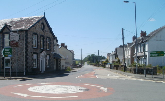
Image: © Jaggery Taken: 26 Jun 2011
Looking along Heol Myrddin (the A476) past a mini-roundabout across the A483. Turn left for Ammanford and Swansea or right for Llandeilo and Llandovery.
Images are licensed for reuse under creativecommons.org/licenses/by-sa/2.0
Image Location
Latitude
51.874004
Longitude
-3.998012