Former Lovelodge Mill, Ffairfach
Introduction
The photograph on this page of Former Lovelodge Mill, Ffairfach by Jaggery as part of the Geograph project.
The Geograph project started in 2005 with the aim of publishing, organising and preserving representative images for every square kilometre of Great Britain, Ireland and the Isle of Man.

There are currently over 7.5m images from over 14,400 individuals and you can help contribute to the project by visiting https://www.geograph.org.uk
Former Lovelodge Mill, Ffairfach
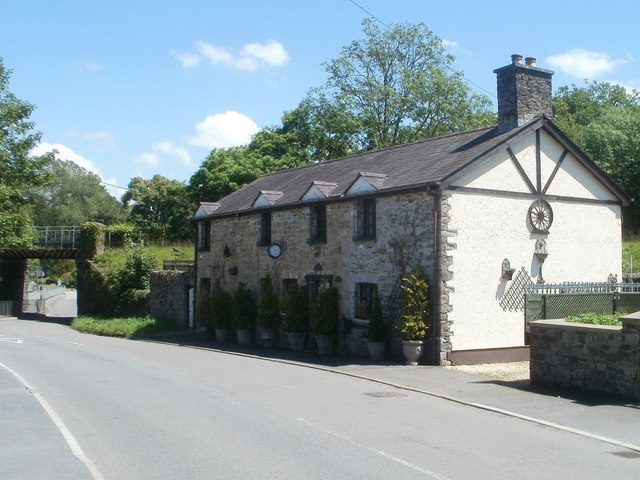
Image: © Jaggery Taken: 26 Jun 2011
Now in residential use, this was formerly a water-powered mill for grinding flour and animal feed. Built in c1780. Last used in c1900.
Images are licensed for reuse under creativecommons.org/licenses/by-sa/2.0
Image Location


Leaflet Map data © OpenStreetMap
Latitude
51.875205
Longitude
-3.990801