Whitehall Lane Allotment Gardens, Grays
Introduction
The photograph on this page of Whitehall Lane Allotment Gardens, Grays by David Anstiss as part of the Geograph project.
The Geograph project started in 2005 with the aim of publishing, organising and preserving representative images for every square kilometre of Great Britain, Ireland and the Isle of Man.

There are currently over 7.5m images from over 14,400 individuals and you can help contribute to the project by visiting https://www.geograph.org.uk
Whitehall Lane Allotment Gardens, Grays
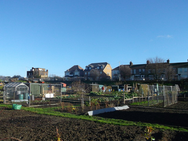
Image: © David Anstiss Taken: 25 Nov 2012
A large plot of pland beside Whitehall Lane is used for allotments. As seen from a footpath near Kent Road. In the background are houses on Whitehall Lane. With one with castle-like features.
Images are licensed for reuse under creativecommons.org/licenses/by-sa/2.0
Image Location
Latitude
51.477154
Longitude
0.334984