Broad Marston Rd
Introduction
The photograph on this page of Broad Marston Rd by Nigel Mykura as part of the Geograph project.
The Geograph project started in 2005 with the aim of publishing, organising and preserving representative images for every square kilometre of Great Britain, Ireland and the Isle of Man.

There are currently over 7.5m images from over 14,400 individuals and you can help contribute to the project by visiting https://www.geograph.org.uk
Broad Marston Rd
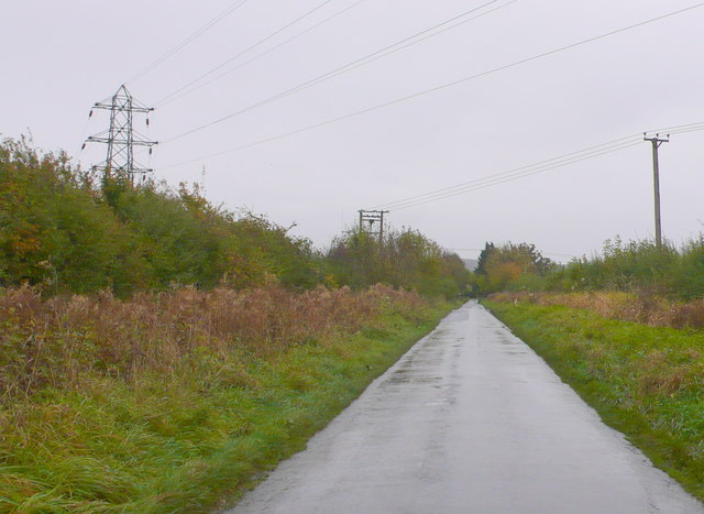
Image: © Nigel Mykura Taken: 28 Oct 2012
There is only one small bit of public road in this grid square in the north east corner and this is it. There is a small switching station on the left behind the hedge supplied by the pylon power lines.
Images are licensed for reuse under creativecommons.org/licenses/by-sa/2.0
Image Location
Latitude
52.102146
Longitude
-1.783154