West Hewish
Introduction
The photograph on this page of West Hewish by Derek Harper as part of the Geograph project.
The Geograph project started in 2005 with the aim of publishing, organising and preserving representative images for every square kilometre of Great Britain, Ireland and the Isle of Man.

There are currently over 7.5m images from over 14,400 individuals and you can help contribute to the project by visiting https://www.geograph.org.uk
West Hewish
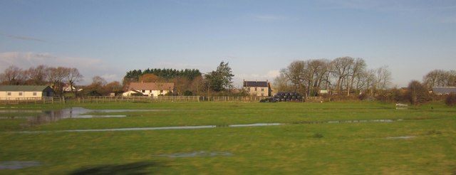
Image: © Derek Harper Taken: 23 Nov 2012
View from the railway line between Bristol and Weston. Manor Farm, the grey-roofed house right of centre, is in Image Manor Cottage, left of centre, straddles a gridline. The barn and the bales are both in Image Lines of water, following old furrows, indicate recent heavy rain.
Images are licensed for reuse under creativecommons.org/licenses/by-sa/2.0
Image Location
Latitude
51.371309
Longitude
-2.87871