Chester: St Martin's Way
Introduction
The photograph on this page of Chester: St Martin's Way by Christopher Hilton as part of the Geograph project.
The Geograph project started in 2005 with the aim of publishing, organising and preserving representative images for every square kilometre of Great Britain, Ireland and the Isle of Man.

There are currently over 7.5m images from over 14,400 individuals and you can help contribute to the project by visiting https://www.geograph.org.uk
Chester: St Martin's Way
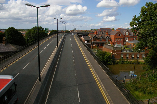
Image: © Christopher Hilton Taken: 16 Aug 2012
A dual carriageway swooping across the canal and smashing through the city walls, where the resulting concrete footbridge is coyly named "St Martin's Gate". The 1960s really were another era in terms of what could get through planning.
Images are licensed for reuse under creativecommons.org/licenses/by-sa/2.0
Image Location
Latitude
53.194185
Longitude
-2.896531