Field, Backwell Common
Introduction
The photograph on this page of Field, Backwell Common by Derek Harper as part of the Geograph project.
The Geograph project started in 2005 with the aim of publishing, organising and preserving representative images for every square kilometre of Great Britain, Ireland and the Isle of Man.

There are currently over 7.5m images from over 14,400 individuals and you can help contribute to the project by visiting https://www.geograph.org.uk
Field, Backwell Common
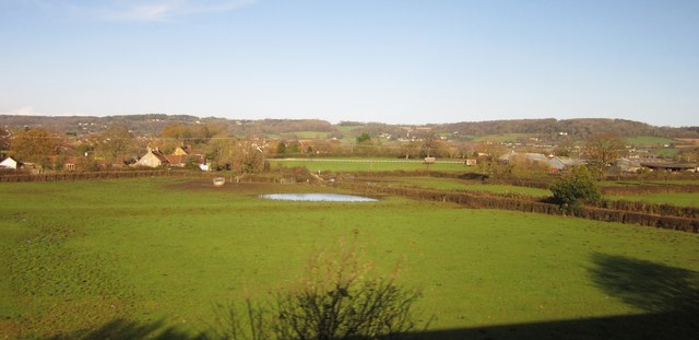
Image: © Derek Harper Taken: 23 Nov 2012
With a considerable puddle in it, a legacy of recent heavy rain. To the left is Old Farm, with a listed farmhouse http://list.english-heritage.org.uk/resultsingle.aspx?uid=1320672&searchtype=mapsearch ; on the right is the large Schrubbets Farm. Footpath LA2/24 runs between the hedges on the right.
Images are licensed for reuse under creativecommons.org/licenses/by-sa/2.0
Image Location
Latitude
51.422895
Longitude
-2.739329