Fields by Ashton Vale Trading Estate
Introduction
The photograph on this page of Fields by Ashton Vale Trading Estate by Derek Harper as part of the Geograph project.
The Geograph project started in 2005 with the aim of publishing, organising and preserving representative images for every square kilometre of Great Britain, Ireland and the Isle of Man.

There are currently over 7.5m images from over 14,400 individuals and you can help contribute to the project by visiting https://www.geograph.org.uk
Fields by Ashton Vale Trading Estate
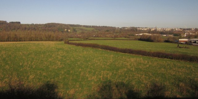
Image: © Derek Harper Taken: 23 Nov 2012
A little open countryside remains between the outskirts of Bristol and Long Ashton. The Community Forest Path makes it way across these fields, which are seen from the railway line to Weston. On the hillside ahead is UWE's Bower Ashton Campus, on the Ashton Court estate. On the right is Clifton; the suspension bridge is barely discernible right of centre.
Images are licensed for reuse under creativecommons.org/licenses/by-sa/2.0
Image Location
Latitude
51.428718
Longitude
-2.635715