Nottingham, NG1
Introduction
The photograph on this page of Nottingham, NG1 by David Hallam-Jones as part of the Geograph project.
The Geograph project started in 2005 with the aim of publishing, organising and preserving representative images for every square kilometre of Great Britain, Ireland and the Isle of Man.

There are currently over 7.5m images from over 14,400 individuals and you can help contribute to the project by visiting https://www.geograph.org.uk
Nottingham, NG1
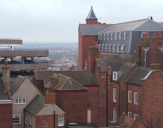
Image: © David Hallam-Jones Taken: 26 Nov 2012
A south-westerly view across the Standard Hill area towards the former British Waterways building - SK 571 392 - from the top floor of an NCP car park. The dominant building on the right is Royal Standard House, an apartment block converted from the former Nurses' Home of the former General Hospital.
Images are licensed for reuse under creativecommons.org/licenses/by-sa/2.0
Image Location
Latitude
52.952221
Longitude
-1.15603