Flatter section of Cwrdy Road, Griffithstown, Pontypool
Introduction
The photograph on this page of Flatter section of Cwrdy Road, Griffithstown, Pontypool by Jaggery as part of the Geograph project.
The Geograph project started in 2005 with the aim of publishing, organising and preserving representative images for every square kilometre of Great Britain, Ireland and the Isle of Man.

There are currently over 7.5m images from over 14,400 individuals and you can help contribute to the project by visiting https://www.geograph.org.uk
Flatter section of Cwrdy Road, Griffithstown, Pontypool
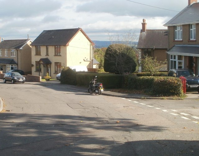
Image: © Jaggery Taken: 8 Oct 2011
After a steep descent http://www.geograph.org.uk/photo/3240020 from Cwrdy Lane, Cwrdy Road traverses flattish land ahead. The Spring Terrace junction is on the right.
Images are licensed for reuse under creativecommons.org/licenses/by-sa/2.0
Image Location
Latitude
51.68198
Longitude
-3.032249