The brookstray
Introduction
The photograph on this page of The brookstray by E Gammie as part of the Geograph project.
The Geograph project started in 2005 with the aim of publishing, organising and preserving representative images for every square kilometre of Great Britain, Ireland and the Isle of Man.

There are currently over 7.5m images from over 14,400 individuals and you can help contribute to the project by visiting https://www.geograph.org.uk
The brookstray
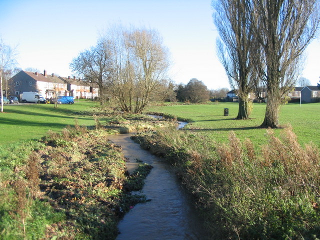
Image: © E Gammie Taken: 25 Nov 2012
Approximately midday on the day after 37.4mm of rain was recorded locally on 24 Nov with a further 1.5mm recorded on 25 Nov, the rain having stopped early morning. The water is a little below bank full but the flattened vegetation to the left shows it has been higher.
Images are licensed for reuse under creativecommons.org/licenses/by-sa/2.0
Image Location


Leaflet Map data © OpenStreetMap
Latitude
52.411962
Longitude
-1.559941