Humber Avenue
Introduction
The photograph on this page of Humber Avenue by Nigel Mykura as part of the Geograph project.
The Geograph project started in 2005 with the aim of publishing, organising and preserving representative images for every square kilometre of Great Britain, Ireland and the Isle of Man.

There are currently over 7.5m images from over 14,400 individuals and you can help contribute to the project by visiting https://www.geograph.org.uk
Humber Avenue
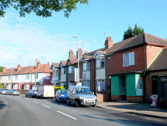
Image: © Nigel Mykura Taken: 11 Jun 2011
This is Humber avenue viewed from the bottom end where the road terminates where it crosses a bridge over the river Sherbourne. The shop on the right which is now closed was once a general food store.
Images are licensed for reuse under creativecommons.org/licenses/by-sa/2.0
Image Location
Latitude
52.402806
Longitude
-1.495946