La Belle Alliance Square, Ramsgate
Introduction
The photograph on this page of La Belle Alliance Square, Ramsgate by David Kemp as part of the Geograph project.
The Geograph project started in 2005 with the aim of publishing, organising and preserving representative images for every square kilometre of Great Britain, Ireland and the Isle of Man.

There are currently over 7.5m images from over 14,400 individuals and you can help contribute to the project by visiting https://www.geograph.org.uk
La Belle Alliance Square, Ramsgate
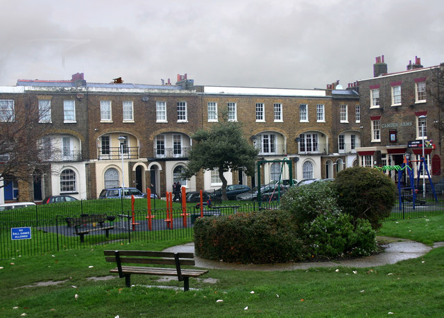
Image: © David Kemp Taken: 21 Nov 2012
La Belle Alliance was an inn north of Brussels which Napoleon had made his headquarters for the Battle of Waterloo in 1815. Thereafter the coalition of countries that had defeated him wanted it to be called the Battle of La Belle Alliance to commemorate both the inn and the alliance itself. But the Duke of Wellington thought otherwise not wishing his victory to be associated with the name of his defeated enemy's command post: hence the Battle of Waterloo. It's therefore not surprising that the road accessed through the right-hand corner of the square should be called Plains of Waterloo.
Images are licensed for reuse under creativecommons.org/licenses/by-sa/2.0
Image Location
Latitude
51.334948
Longitude
1.422145