Council Housing - Wassell Road
Introduction
The photograph on this page of Council Housing - Wassell Road by John M as part of the Geograph project.
The Geograph project started in 2005 with the aim of publishing, organising and preserving representative images for every square kilometre of Great Britain, Ireland and the Isle of Man.

There are currently over 7.5m images from over 14,400 individuals and you can help contribute to the project by visiting https://www.geograph.org.uk
Council Housing - Wassell Road
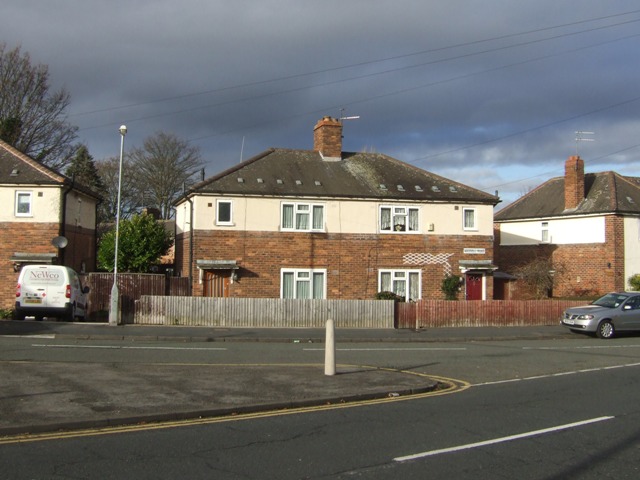
Image: © John M Taken: 25 Nov 2012
Typical 1930s style housing on the fringe of the Villiers Estate.
Images are licensed for reuse under creativecommons.org/licenses/by-sa/2.0
Image Location
Latitude
52.572146
Longitude
-2.077863