A stream running alongside Tanners Lane then under Blakes Hill Road
Introduction
The photograph on this page of A stream running alongside Tanners Lane then under Blakes Hill Road by Roger A Smith as part of the Geograph project.
The Geograph project started in 2005 with the aim of publishing, organising and preserving representative images for every square kilometre of Great Britain, Ireland and the Isle of Man.

There are currently over 7.5m images from over 14,400 individuals and you can help contribute to the project by visiting https://www.geograph.org.uk
A stream running alongside Tanners Lane then under Blakes Hill Road
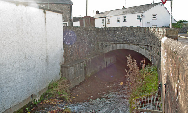
Image: © Roger A Smith Taken: 18 Nov 2012
Shortly after passing under Blakes Hill Road this stream joins Venn Stream.
Images are licensed for reuse under creativecommons.org/licenses/by-sa/2.0
Image Location
Latitude
51.061024
Longitude
-4.000189