Ellenborough Place level crossing
Introduction
The photograph on this page of Ellenborough Place level crossing by Roger Templeman as part of the Geograph project.
The Geograph project started in 2005 with the aim of publishing, organising and preserving representative images for every square kilometre of Great Britain, Ireland and the Isle of Man.

There are currently over 7.5m images from over 14,400 individuals and you can help contribute to the project by visiting https://www.geograph.org.uk
Ellenborough Place level crossing
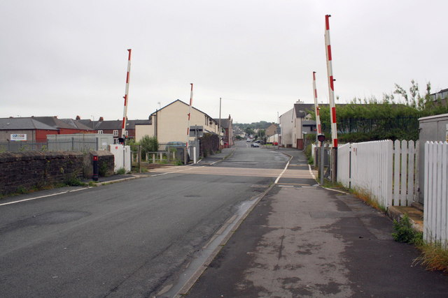
Image: © Roger Templeman Taken: 27 Jun 2012
The railway is the Cumbrian Coast line SW of Maryport station.
Images are licensed for reuse under creativecommons.org/licenses/by-sa/2.0
Image Location
Latitude
54.708988
Longitude
-3.500818