Whyte's Corner, Milton
Introduction
The photograph on this page of Whyte's Corner, Milton by Lairich Rig as part of the Geograph project.
The Geograph project started in 2005 with the aim of publishing, organising and preserving representative images for every square kilometre of Great Britain, Ireland and the Isle of Man.

There are currently over 7.5m images from over 14,400 individuals and you can help contribute to the project by visiting https://www.geograph.org.uk
Whyte's Corner, Milton
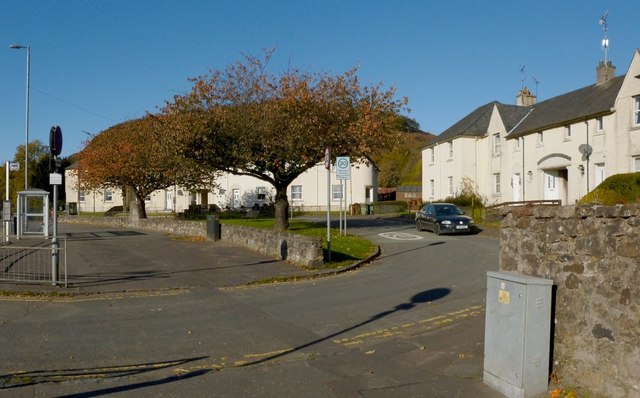
Image: © Lairich Rig Taken: 26 Oct 2012
The houses were built in the 1930s. See Image for a view from a different angle, and for further information.
Images are licensed for reuse under creativecommons.org/licenses/by-sa/2.0
Image Location
Latitude
55.936597
Longitude
-4.518536