View of Clipper House from Marsh Wall
Introduction
The photograph on this page of View of Clipper House from Marsh Wall by Robert Lamb as part of the Geograph project.
The Geograph project started in 2005 with the aim of publishing, organising and preserving representative images for every square kilometre of Great Britain, Ireland and the Isle of Man.

There are currently over 7.5m images from over 14,400 individuals and you can help contribute to the project by visiting https://www.geograph.org.uk
View of Clipper House from Marsh Wall
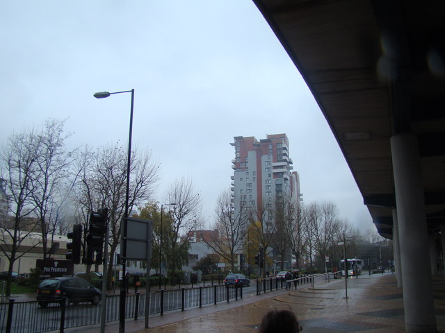
Image: © Robert Lamb Taken: 24 Nov 2012
Looking south-southwest from beneath the DLR viaduct.
Images are licensed for reuse under creativecommons.org/licenses/by-sa/2.0
Image Location
Latitude
51.50017
Longitude
-0.021603