Tubbenden Lane
Introduction
The photograph on this page of Tubbenden Lane by Ian Capper as part of the Geograph project.
The Geograph project started in 2005 with the aim of publishing, organising and preserving representative images for every square kilometre of Great Britain, Ireland and the Isle of Man.

There are currently over 7.5m images from over 14,400 individuals and you can help contribute to the project by visiting https://www.geograph.org.uk
Tubbenden Lane
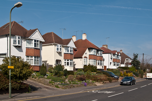
Image: © Ian Capper Taken: 29 Mar 2012
An old route from Orpington to Farnborough. The houses along this stretch date from immediately before or after the Second World War.
Images are licensed for reuse under creativecommons.org/licenses/by-sa/2.0
Image Location
Latitude
51.367458
Longitude
0.083509