Cotswold Green houses, Stonehouse
Introduction
The photograph on this page of Cotswold Green houses, Stonehouse by Jaggery as part of the Geograph project.
The Geograph project started in 2005 with the aim of publishing, organising and preserving representative images for every square kilometre of Great Britain, Ireland and the Isle of Man.

There are currently over 7.5m images from over 14,400 individuals and you can help contribute to the project by visiting https://www.geograph.org.uk
Cotswold Green houses, Stonehouse
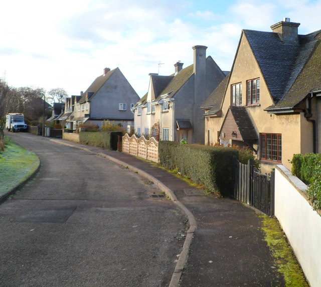
Image: © Jaggery Taken: 18 Dec 2011
Cotswold Green consists of two roughly parallel arms about 50 metres apart, separated by a green. The houses are on the west side of the western arm and the east side of the eastern arm. This view is of the western arm.
Images are licensed for reuse under creativecommons.org/licenses/by-sa/2.0
Image Location
Latitude
51.750298
Longitude
-2.276629