Clinton Road, Bow
Introduction
The photograph on this page of Clinton Road, Bow by David Smith as part of the Geograph project.
The Geograph project started in 2005 with the aim of publishing, organising and preserving representative images for every square kilometre of Great Britain, Ireland and the Isle of Man.

There are currently over 7.5m images from over 14,400 individuals and you can help contribute to the project by visiting https://www.geograph.org.uk
Clinton Road, Bow
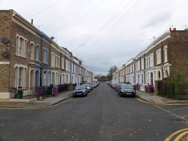
Image: © David Smith Taken: 20 Nov 2012
An attractive road close to Mile End Park. It is isolated, as it runs parallel to the A1205 (Grove Road) and there are no other residential properties on the same side of that road.
Images are licensed for reuse under creativecommons.org/licenses/by-sa/2.0
Image Location
Latitude
51.526054
Longitude
-0.036772