Nottingham, NG6 - Bestwood
Introduction
The photograph on this page of Nottingham, NG6 - Bestwood by David Hallam-Jones as part of the Geograph project.
The Geograph project started in 2005 with the aim of publishing, organising and preserving representative images for every square kilometre of Great Britain, Ireland and the Isle of Man.

There are currently over 7.5m images from over 14,400 individuals and you can help contribute to the project by visiting https://www.geograph.org.uk
Nottingham, NG6 - Bestwood
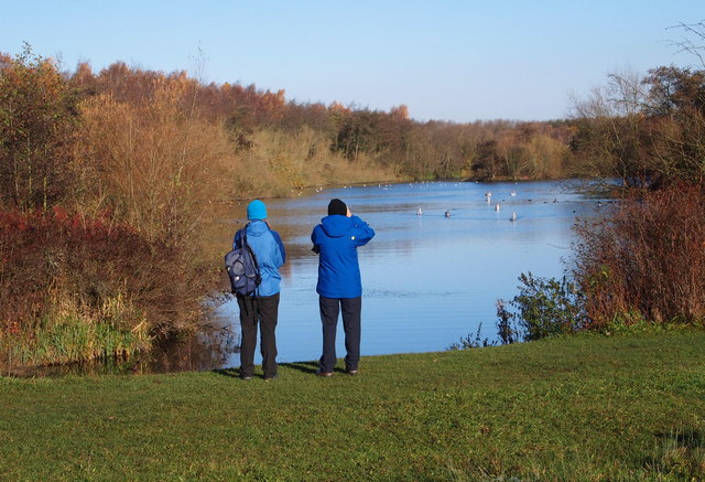
Image: © David Hallam-Jones Taken: 17 Nov 2012
One of the "Mill Lakes" in Mill Lakes Country Park from one of the footpaths that encircle it. The water in River Leen that replenishes the lake is seen continuing its journey - at the feet of the birdwatching couple - towards the Moor Bridge tram stop vicinity. This country park is situated between the Nottingham-Mansfield railway line (The Robin Hood Line) on one side and the B683 road on the other, at the point where these two converge to form the apex of an thin inverted triangle at the boundaries of the Ashfield District Council and Nottingham Borough Council administrative areas.
Images are licensed for reuse under creativecommons.org/licenses/by-sa/2.0
Image Location
Latitude
53.022445
Longitude
-1.184179